In March 2012, over 300 people gathered in Edmonton to participate in a 2-day workshop about how LiDAR technology is being used in Alberta, and the potential future applications for LiDAR data. The Land-use Knowledge Network was able to record the presentations.
- Chris Hopkinson. "Overview of airborne laser scanning." Hopkinson, LiDAR consultant with Otterburn Geographic, gives an overview of how airborne laser scanning works, what type of data is collected, and how it can be used. Video Part 1 and Part 2
- Brian Sawyer & Phil Mackenzie. "LiDAR acquisition and management: Collaboration." Sawyer & Mackenzie, Alberta Environment & Sustainable Resource Development, discuss how GOA decided to acquire LiDAR data, the value it has to various government departments, and how it is being used. Video
- Jae Ogilvie. "Greening Alberta's energy sector: Lessons learned from the Rainbow pipeline spill of 2011." Ogilvie, from the University of New Brunswick's Faculty of Forestry & Environmental Management, presents on his group's research related to the use of Wet Areas Mapping data to predict the flow of contaminants from the Rainbow pipeline spill in northern Alberta in 2011. Video
- Barry White. "Building a sustainable Alberta through deployment of LiDAR technologies: Reflections from an SRD perspective." Dr. White, Forest Management Specialist with Alberta Environment and Sustainable Resource Development, discusses the ways LiDAR is being used by departments within the government of Alberta. Video
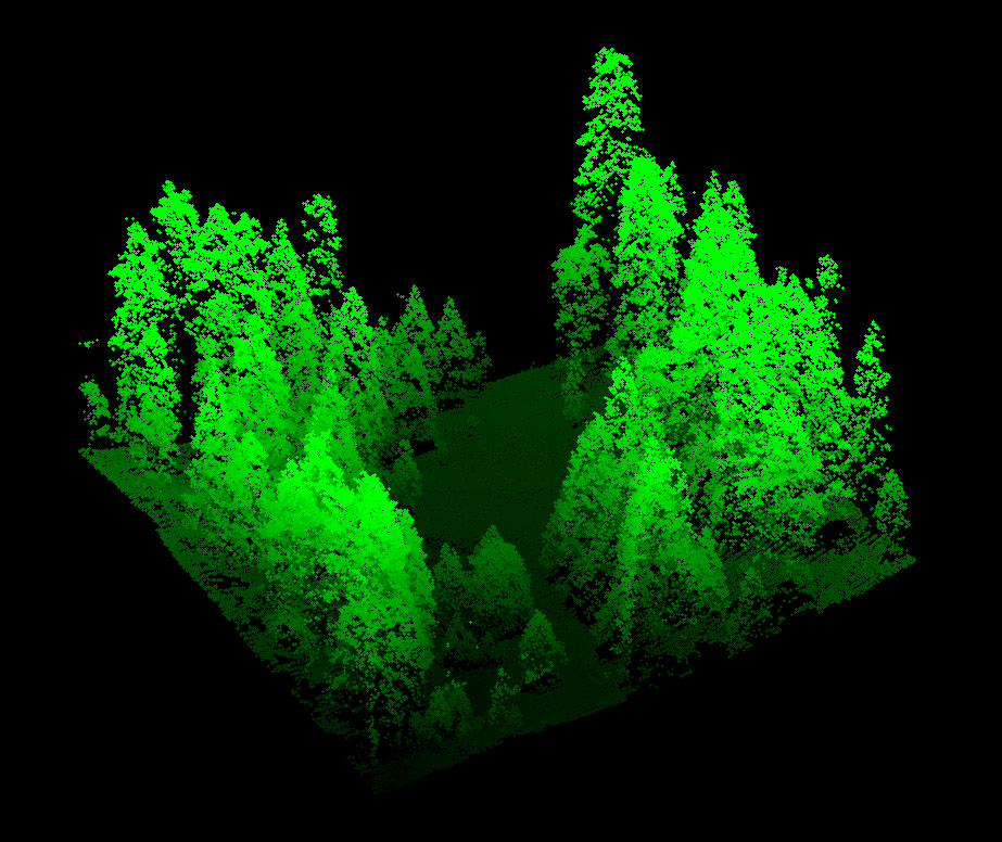
- Nicholas Coops. "Assessment of forest attributes using airborne and terrestrial LIDAR." Dr. Coops, UBC Faculty of Forestry, discusses the different ways that LiDAR data can be effectively used in forestry management applications. Video Part 1 and Part 2
- Chris Hopkinson. "LiDAR data capture and analysis standards." Dr. Hopkinson, LiDAR consultant with Otterburn Geographic, discusses some of the issues with data collection and analysis that could lead users to require standards. Video Part 1 and Part 2
- Andy Hudak. "Enhanced fuel mapping for wildfire management." Hudak, from the Department of Agriculture, US Forest Service, discusses on ways that LiDAR data can be used in forestry management, including for mapping mountain pine beetle infestations. Video Part 1 and Part 2
- Murray Woods. "From point cloud to supporting decisions: Making use of your LiDAR data." Woods, Senior Analyst - Forested Landscapes for the Ontario Ministry of Natural Resources, discusses how to use LiDAR data, in particular for forestry, but also for other government and industry applications. VIdeo Part 1 and Part 2
- Chris Hopkinson. "Terrestrial LiDAR sampling of PSPs." Hopkinson, LiDAR consultant with Otterburn Geographic, provides an overview of the technologies and challenges related to data collection, and some techniques that provide good results. Video
- Ian Moss & Dwight Crouse. "High resolution inventories using LiDAR: Challenges and opportunities." Moss & Crouse, from Tesera Systems Inc., discuss a pilot project done with Spray Lakes Sawmill FMA related to doing plot inventories using LiDAR. Video
- Olaf Niemann. "Feature extraction from multisensor airborne data." Niemann, from the University of Victoria, discusses using airborne LiDAR data on monitoring projects with the federal and provincial government. Data collection and data extraction are reviewed. Video Part 1 and Part 2
- Duke Hunter. "LiDAR Demonstrating value to Alberta Parks through 101 uses." Hunter, Geomatics & Land Registries Coordinator with Alberta Tourism, Parks and Recreation, discusses how Alberta Parks uses LiDAR data to inform decision-making in their land management activities. Video
- Robin Woywitka. "LiDAR use at the Archaeological Survey." Woywitka, with the Archaeological Survey, Alberta Culture & Community Services, reviews the ways that LiDAR data is used by staff at the Archaeological survey currently, and possible applications in future. Video


