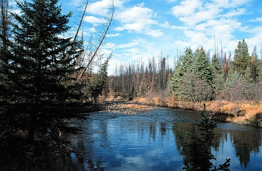
On February 6, 2013 the fRI Water Program hosted a workshop entitled Advances in Knowledge of Riparian Processes, Hydrological Functions, Forest Management Mapping Tools and Monitoring Procedures. Presentations from this workshop were captured on video by the Alberta Land-use Knowledge Network.
- Axel Anderson - Introduction to Riparian Function & Processes, Alberta Forestry Perspective View video
- Rich McCleary - A Drainage Network Model for Regional-scale Land-use Planning in Alberta's Foothills View video
- Rick Bonar - Riparian Digital Mapping Using Ecological Boundaries in West-central Alberta View video
- Derek Tripp - Streamside Management & Riparian Assessments in British Columbia. View video
- Jay Mills - Riparian Vegetation: Identifying Boundaries & Quantifying Structure using LiDAR View video
- Barry White - Can Wet Areas Mapping Data Contribute to Riparian Management? View video
- John Stadt - Riparian Management in Alberta's Forests: Where We Are - Where We Are Going View video
- Lorin Hicks - Adaptive Management and Native Fish Conservation Planning View video
- Dave Andison - Riparian Zones are Part of the Landscape Too View video
- George Sterling - Tri-Creeks Experimental Watershed Study. View video


