In June 2014 the Alberta Terrestrial Imaging Centre at the University of Lethbridge hosted a workshop related to LiDAR & water in Alberta. The Alberta Land-use Knowledge Network was able to record many of the presentations. Check them out:
Day 1 -
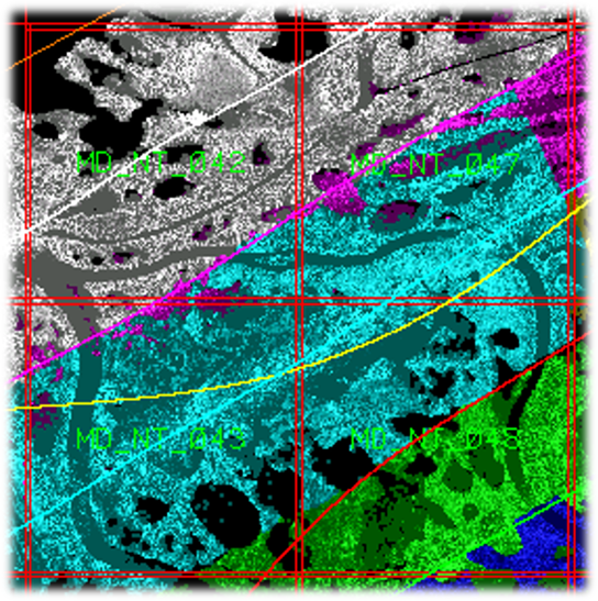
- Valentin Poncos - SAR/InSAR water extent mapping
- Habib Mazaheri - Soil moisture estimation using polarimetric Radarsat-2 data
- Peter White - Waste rock detection in wetlands associated with gold mine tailings
- Laura Chasmer - A multi-level classification for Boreal wetlands
- Paul LaRocque - Bathymetric lidar for hydrographic mapping
- Dr. Chris Hopkinson - Alberta water extent monitoring pilot study
Day 2 -
- LiDAR & Water Resources Applications - Dr. Chris Hopkinson
- Part 1 - Introduction
- Part 2 - Data attributes
- Part 3 - Data uncertainties
- Part 4 - Data processing
- Part 5 - Hydrological applications
- Part 6 - Hydrological modelling
- Part 7 - Monitoring applications
2. LiDAR Tools - Dr. Martin Isenburg
- Part 1 - LAStools introduction
- Part 2 - LASview
- Part 3 - LAStools demo
- Part 4 - LAStools modules, details
- Part 5 - LAStools pipelines in ArcGIS
- Part 6 - Quality checking LiDAR data
3. Brian Brisco - SAR and water resources
4. John Wessels - Water extents
5. John Wessels - SAR & polarimetry for flooded vegetation
More to come!


